Try it yourself!
Loading
Turn off adblocker if not loading!- Closing the gap
- There has always been a large gap between land surveyors and GIS Data professionals. Shape files were for a long time the only link between these professions. Now through Carlson SurvPC powered with an Esri® OEM engine, it is possible for the land surveyor, through a familiar interface, to work with Esri data without conversions or data loss.
- Key features
-
- Intuitively use Esri Maps to perform all survey functions with no downtime learning new software
- If ArcMap10, ArcView or equivalent reside on the same PC, SurvPC ‘finds’ the Esri engine and reads and writes Esri MXD files automatically, or
- SurvPC can be purchased with the Esri OEM engine built inside
- Stake out, identify or draw to any existing feature by conventional ‘snap’ selection in Esri, DGN or .dxf
- Create new points in Esri, DGN or .dxf with symbols and formats native to the map
- Total freedom in hardware choice
- It has never been easier to create your own configuration of software and hardware. Carlson SurvPC supports a wide range of instruments; RTK GNSS receivers, Total Stations, rangefinders or even Sonar for hydrographic surveys. See the full list of support instruments here.
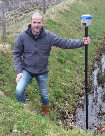
Meet Jeroen Harbers, Carlson Software's Director of GIS: Read more here.